Task 5: Interactive WhiteBoard
1. WhiteBoard Software for Geography
„Geographie interaktiv“ is a teaching program from the software publisher Braingame from Wiesbaden. It can be used for the work with an interactive whiteboard, a beamer or notebooks. This teaching program has lots of features as digital maps for Germany, Austria and Swiss, further outline maps for Europe and the world and a huge collection of material for cartography and geology. Some additional functions are worksheets with text and images to each topic.
Provider: Microsoft Partners in Learning, Germany
Provider: Microsoft Partners in Learning, Germany
2. WhiteBoard Software for Geography
This whiteboard software for Geography has a big collection of maps from Germany, Autria, Swiss, Europe and the world. Special features are physical and political maps, further exercises for the work with the Atlas and worksheets for the different topics. It can be used for all grades.
Provider: bub-interaktive Büro und Bildung by Marlies Stoof
Provider: bub-interaktive Büro und Bildung by Marlies Stoof
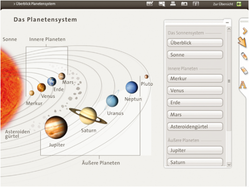
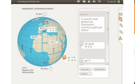
3. WhiteBoard Software for Geography
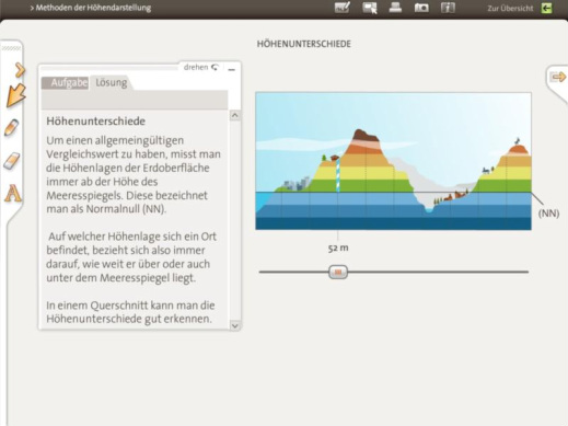
With "Geographie interaktive" you can work with differences in altitudes and check out names of villages, mountaines, lakes and many more.
Provider: co.Tec, Software For Every Field of Education
Provider: co.Tec, Software For Every Field of Education
4. WhiteBoard Software for Geography
Geography as an interactive subject:
This software is particulary for all teaching tools when using an interactive whiteboard.
Provider: Konzept Weiterbildung, Beratung
und Betreuung GmbH
This software is particulary for all teaching tools when using an interactive whiteboard.
Provider: Konzept Weiterbildung, Beratung
und Betreuung GmbH
5. WhiteBoard Software for Geography
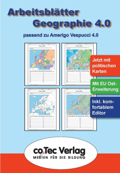
Amerigo Vespucci 4.0 und Arbeitsblätter Geographie
Provider: co.Tec, Software For Every Field of Education
Provider: co.Tec, Software For Every Field of Education
